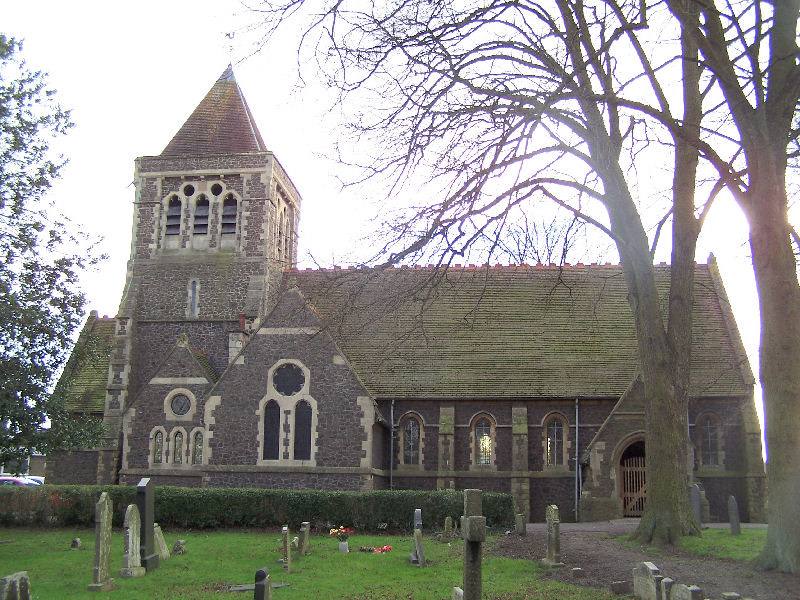
Leicestershire · England
Glenfield population
10,000people · latest estimate

Glenfield has a population of 10,000, making it the 17th largest place in Leicestershire.
Year-by-year official estimates for the wider area: Blaby population trends, 2001–2025.
Glenfield in context

Distances are straight-line from the settlement's recorded coordinates. The 10 km figure sums the recorded places within that radius, so it describes how built-up the surroundings are rather than people per square kilometre.
The centre of Glenfield sits in postcode district LE3.
Council tax
The area Band D council tax for Blaby, the billing authority covering Glenfield, is £2,490 for 2026–27.
From MHCLG's council tax statistics (Table 9): the area average including police, fire and parish precepts, so it is the council's figure rather than the town's, and your own band depends on your property's 1991 valuation.
Common questions
What is the population of Glenfield?
Go deeper
Nearby in Leicestershire
| # | Place | Population |
|---|---|---|
| 1 | Shepshed | 13,505 |
| 2 | Ashby-de-la-Zouch | 12,370 |
| 3 | Syston | 11,508 |
| 4 | Lutterworth | 9,907 |
| 5 | Kirby Muxloe | 9,712 |
| 6 | Broughton Astley | 8,940 |